Hydrographic Survey Equipment Philippines
Explore and map underwater terrains with exceptional accuracy using advanced marine surveying tools. Utilize innovative hydrographic survey equipment to collect precise data.
What Is Hydrographic Surveying?
Hydrographic surveying creates detailed underwater maps by measuring and recording the physical characteristics of water bodies. This specialized science reveals water depths, seafloor composition, and submerged hazards beneath the surface.
Professional hydrographic survey equipment enables surveyors to navigate safely through underwater terrain while collecting precise data for nautical charts and marine infrastructure projects.
Importance of Hydrographic Surveys
Modern marine operations depend on accurate underwater mapping supported by hydrographic survey equipment to ensure safety and efficiency. These surveys provide critical data on protecting equipment and personnel in maritime environments.
Key benefits include:
Port Development
Harbor authorities rely on depth measurements to determine where ships can safely dock. Regular surveys ensure channels remain navigable as sediment accumulates over time.
Navigation Safety
Hydrographic surveys identify underwater hazards like rocks, wrecks, and shallow areas that could endanger vessels. The use of technology, such as a multibeam echo sounder, creates detailed images of the seafloor, revealing obstacles that traditional depth measurements might miss.
Infrastructure Planning
Construction teams use survey data to plan offshore projects like bridges, pipelines, and wind farms. Accurate seafloor measurements prevent structural failures and optimize foundation design.
Resource Management
Fishing fleets and offshore drilling operations use hydrographic data to locate optimal working areas. Detailed seafloor maps reveal geological features that indicate resource potential.
Environmental Protection
Side scan sonar technology helps researchers map sensitive marine habitats and monitor ecosystem changes. This data supports conservation efforts and regulatory compliance.
Types of Hydrographic Survey
Hydrographic surveys come in various types, each serving a unique purpose to support marine and coastal activities. Here’s an overview:
- General Hydrographic Surveys: These surveys collect data on water depths, seabed features, and coastlines to produce nautical charts, ensuring safe vessel navigation.
- Coastal Surveys: Focused on shorelines and nearshore areas, these surveys are vital for monitoring coastal erosion, mapping habitats, and planning port developments.
- Harbor Surveys: These surveys are conducted in harbors and ports, measuring water depths, assessing seabed conditions, and identifying hazards to maintain safe navigation.
- Passage Surveys: These focus on shipping lanes and high-traffic waterways, providing critical data on depths and obstacles to ensure vessel safety.
- Wreck Surveys: These surveys locate and map shipwrecks, aiding in salvage operations, underwater archaeology, and hazard identification.
Each type of hydrographic survey plays a key role in safeguarding navigation, supporting marine development, and deepening our understanding of aquatic environments.
Difference Between Bathymetric Survey vs. Hydrographic Survey
Many professionals confuse these two related surveying disciplines, but they serve distinct purposes in marine operations. Understanding these differences helps us choose the right approach for specific project requirements.
Scope of Work
Bathymetric surveys focus exclusively on measuring water depth and seafloor topography. Hydrographic surveys encompass broader data collection, including tides, currents, and water properties, alongside depth measurements.
Data Applications
Bathymetric data primarily supports engineering and construction projects requiring precise depth information. Hydrographic surveys, with the use of the right hydrographic survey equipment, produce nautical charts and navigation aids that serve the broader maritime community.
Survey Standards
International hydrographic organizations establish strict accuracy standards for navigation charts. Bathymetric surveys may follow specifications based on specific project requirements and intended use.
Cost Considerations
Simple bathymetric surveys often cost less due to focused objectives and simpler equipment requirements. Comprehensive hydrographic projects involve higher costs but deliver more versatile data products for multiple applications.
Equipment Selection
Bathymetric operations use single beam echo sounder systems for straightforward depth measurement. Hydrographic projects require comprehensive hydrographic survey equipment suites, including multiple sensor types and data integration systems.
Precision Meets Innovation
Our equipment for hydrographic surveys is for professionals who aim for efficiency and precision in every survey. Our equipment is world standard, simplify data collection, underwater object detection, and seabed mapping for various marine environments.
.webp "hydrographic survey equipment")
Key Features:
- High-Resolution Data Acquisition: Accurately visualize undersea terrain by gathering detailed information.
- Advanced Sonar Technology: Accurately detect underwater hazards objects, and more.
- Versatile Across Water Environments: Effortlessly conduct surveys in shallow waters and oceans.
- Comprehensive Hydrographic Workflows: Simplify the entire survey process, from sounding corrections to final reporting.
- Rugged & Portable Design: Designed for tough fieldwork while still getting the job done efficiently.
What is Hydrographic Survey Equipment?
Hydrographic survey equipment is a specialized system that analyzes and maps underwater topography. These tools provide vital information to ensure the efficiency and safety of water-based operations and are widely utilized in infrastructure planning, marine navigation, and environmental conservation.
Equipment We Have in Our Vessels and For Rent
WASSP Multibeam 3D Sonar
- Very clear resolution for precisely detecting objects and mapping the seabed.
- Maintaining accuracy to cover large survey areas more quickly.
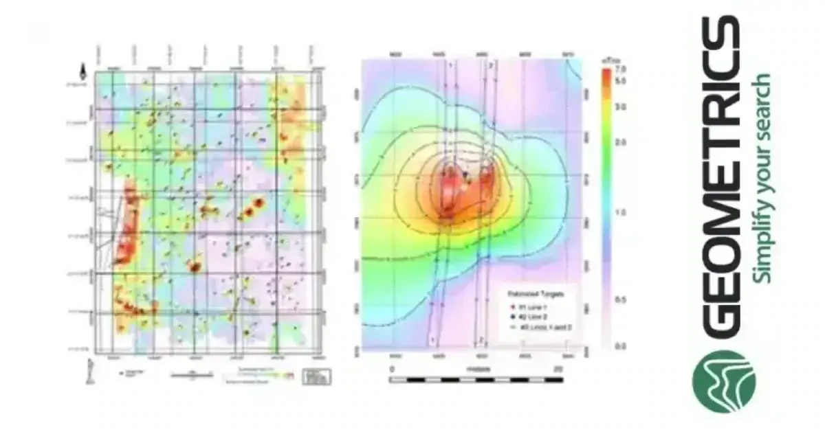
Geometrics 882 Magnetometer
- Detect magnetic changes and metallic objects under the surface with precision.
Blue Remote Operated Vehicle (ROV)
- Collect visual and sonar data from underwater areas that are difficult to reach.
EdgeTech 4125i Sidescan Sonar
- Seabed feature analysis and identification using high-definition imaging. Perfect for detecting objects and finding shipwrecks.
Why Choose Our Hydrographic Survey Equipment?
- Trusted hydrographic survey equipment for precise and dependable performance in crucial marine operations.
- Reliable hydrographic survey equipment that can resist demanding environments.
- Workflows that are integrated for smooth data collecting and analysis.
- Solutions that are tailored to your unique survey requirements.
Ensure Safe Marine Navigation and Get Accurate Results
Utilize tools trusted by experts to complete your survey operations. Jazz Marine’s equipment for hydrographic survey is built for excellence, from supporting detailed survey design to improving marine navigation safety.